 | ||||||
NUMERICAL FORECAST MODELS
WEATHER FORECASTS
Area Forecast Discussions
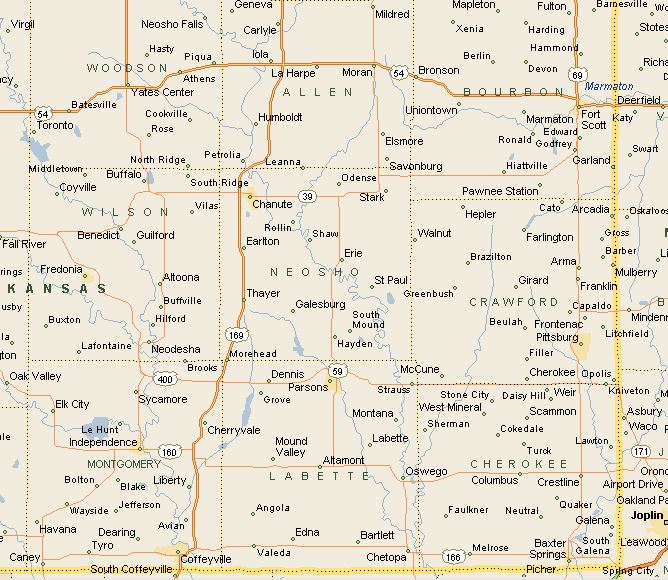
For those who want a behind-the-scenes look at how certain - or uncertain - the forecast really is, there's the Area Forecast Discussion, issued at least twice a day (around 3:00 P.M. & 3:00 A.M.) by every NWS forecast office. The discussions are usually updated more frequently when severe weather of any type is expected. The most recent discussion from any office in the Southeast Kansas area can be accessed using the map below this box. (Click on the city in which you live, on the map below)
Originally intended for internal use among nearby forecast offices, the Area Forecast Discussion has become popular with weather enthusiasts everywhere. Prepared by the meteorologist on duty, the discussion usually starts with a brief analysis of current conditions, followed by an in-depth look at the various models and the reasoning behind his or her forecast.
The one obstacle to understanding the discussions, aside from the fact that they can get a bit technical, is that the forecasters sometimes use their own version of shorthand.
| ||||
| ||||
NATIONAL WEATHER SERVICE
"AREA FORECAST DISCUSSIONS"
YOUR NATIONAL WEATHER SERVICE FORECAST
(Click On The Name Of Your City For The Current 7 Day Forecast)
Computer Model Guidance
Computer forecast models are an integral part of the forecast process for operational Meteorologists. The majority of forecast models are run at the National Centers for Environmental Prediction in Silver Spring, MD. The forecast models provide us of a simulation of an atmosphere, projecting it into the future. Thousands upon thousands of observed surface data, observed upper air data, and other observed data, worldwide, such as satellite are incorporated into complex meteorological equations in the forecast models. The forecast models are then run on a very large supercomputer system at NCEP at different times each day, and become available for government and private Meteorologists worldwide, with indirect availability to the general public. Private Meteorological companies also redistribute the model information to other users.
The forecast models are only guidance based on numerous mathematical equation assumptions as to how a so called "normal" atmosphere should behave. The Meteorologist first relies on observed surface and upper air data, wind profiler data, satellite and radar imagery, and other observed data, to assess the current behavior of the atmosphere over a given area. Then a conceptual model is formed in his/her mind to project the atmosphere into the future. At this point, the use of forecast models come into the picture.
(From The Wichita NWS)