WATCHES & WARNINGS
STORM PREDICTION CENTER TORNADO & SEVERE THUNDERSTORM WATCHES
SEVERE WEATHER WARNINGS

Storm Prediction Center
Tornado And Severe Thunderstorm Watches
A Severe Thunderstorm Watch outlines an area where hail 3/4 inch diameter or larger hail and damaging thunderstorm winds are expected to occur during a three to six hour period. A Tornado Watch includes the large hail and damaging wind threats, as well as the possibility of multiple tornadoes. Typical watches cover about 25,000 square miles, or about half the size of Iowa. In the below image from the Storm Prediction Center in Norman, Oklahoma, Severe Thunderstorm Watches are depicted in light blue and Tornado Watches are depicted in red.
Severe Weather Warnings & Statements In Text Format Can Be Found At The College of DuPage Meteorology Department's Website.
Click On The Image To Your Left To Go To The Warning Site
SEVERE WEATHER REPORTS
Today's Storm Prediction Center Severe Thunderstorm Reports
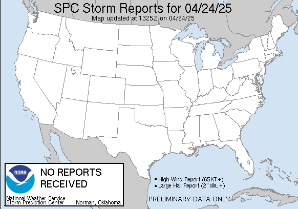
The Storm Prediction Center keeps track of severe thunderstorm and tornado reports that they receive from the National Weather Service Offices around the United States. If you are a storm spotter for a National Weather Service Office in your location, your reports that you relay to that office could very well show up on the SPC map.
Click On The Graphic Below, To Be Directed To The Storm Prediction Center's Storm Report Website
National Weather Service Forecast Office Local Storm Reports
When storm spotters report severe weather to their National Weather Service Forecast Office, each forecast office in return puts this information onto a bulletin for public and media use.
Current Nationwide Warnings
Backup Weather Warnings From The National Weather Service Can Be Found Here.


